This post is now out of date. Find the updated forecast here.
This forecast is current as of Thursday morning, December 30th.
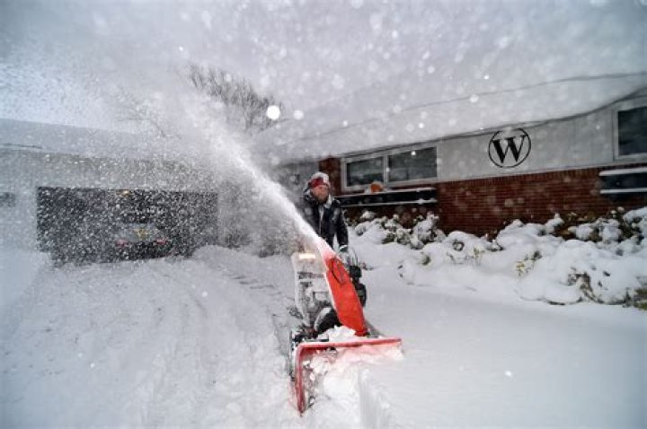
A Winter Storm Watch has been issued for much of eastern Iowa & northwestern Illinois starting Saturday at 6 AM, lasting until 12 AM Sunday morning.
Here’s what we know about the system arriving New Year’s Day:
- Snow will spread into the area Saturday morning, becoming widespread & heavy Saturday afternoon
- Several inches of fluffy snow are likely south of I-80
- Winds will gust up to 30 mph, causing drifting snow & visibility issues
- Travel will by treacherous Saturday afternoon into Saturday night
Following the snow’s end, temperatures will plummet below zero by Sunday morning. Wind chills will fall all the way into the -15° to -20° range.